13. Chocomount Trail
Chocomount Trail is a composite of four different walking areas. There are trailheads on both the west and east edges of the loop.
For the western trailheads, two small parking areas are available on Treasure Pond Road. One is on the left immediately after you turn onto Treasure Pond Road, and another is a little way up on the right, near the accessible overlook of Middle Farms Pond and Treasure Pond Trail. For the eastern trailhead, use the Chocomount Beach parking lot. Leaving the parking lot, the trailhead is approximately 0.1 miles north on the left.
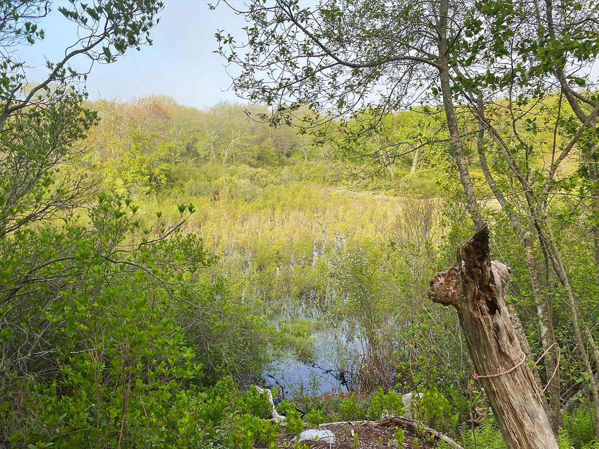
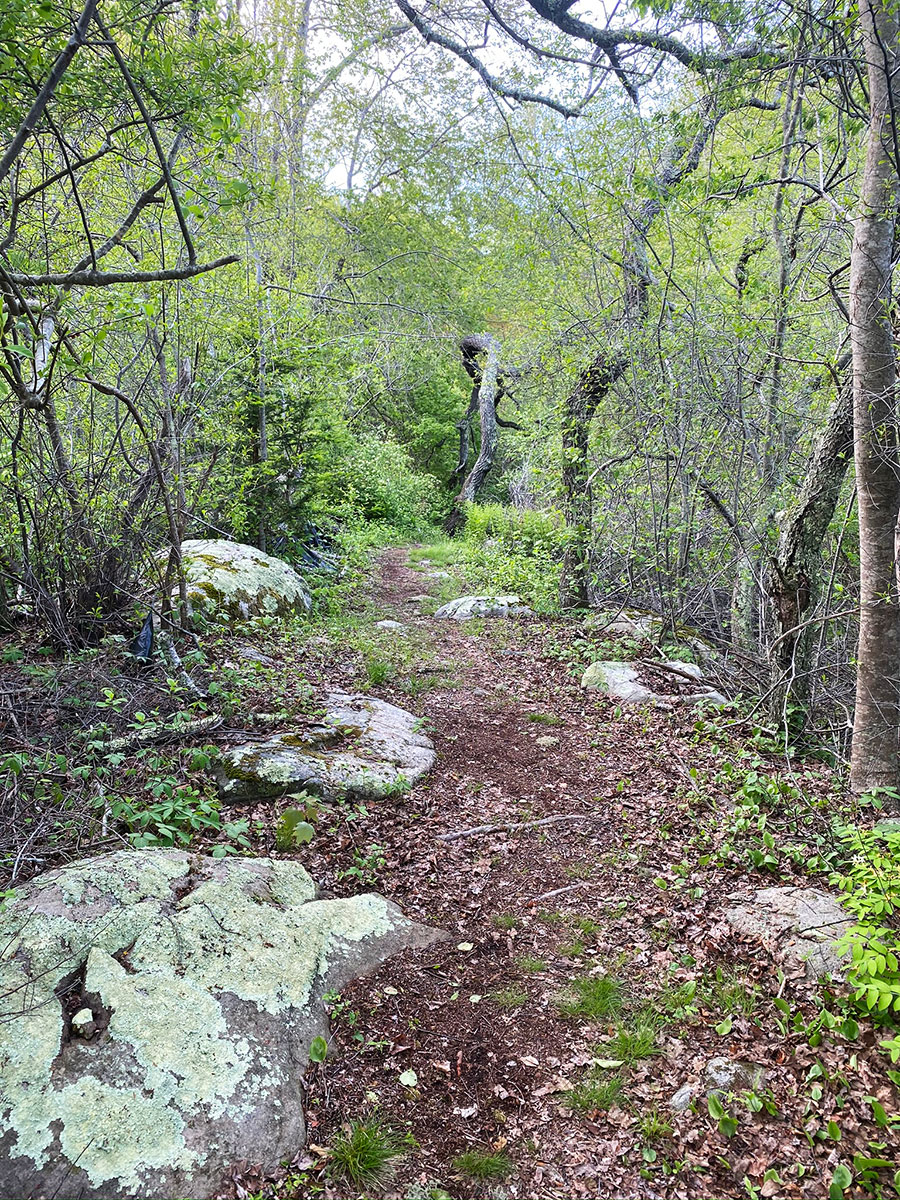
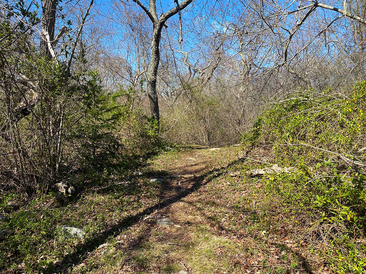
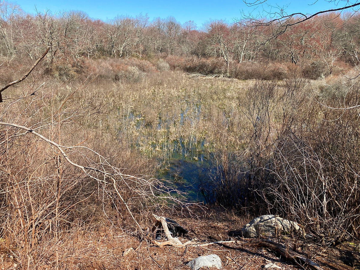
This trail is wooded with moderate elevation changes. You’ll pass under a canopy of black cherry, oak, and red maple. A great number of resident birds, including Cedar Waxwings and Gray Catbirds, are usually visible in the treetops. Patience is required to catch sight of the other residents, as the forest understory is very thick. Along this section of trail there is an overlook into a large freshwater marsh. Covered in swamp loosestrife, this is the largest of a series of kettle hole wetlands occurring in the hollow to the south of the trail. In the spring, the trills of spring peepers, the tiny tree frogs often seen on the trail, fill the air. There is a nice mixture of attractive ground cover including Canada mayflower, star-flowered false Solomon’s seal, and clubmoss. This section of the trail emerges on a private road opposite the eastern entrance to the Treasure Pond Trail.
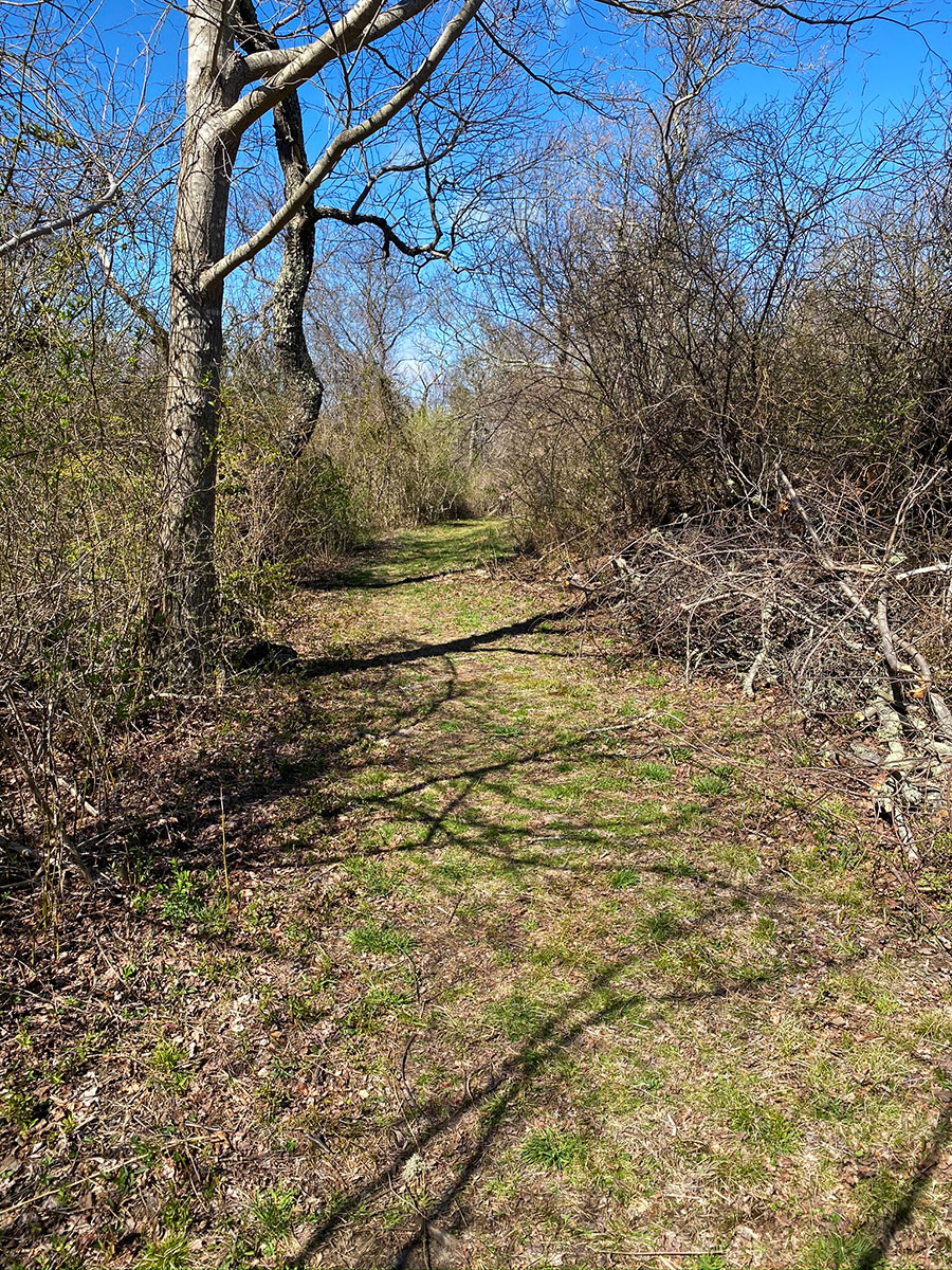
The trail continues south along the road, where an impressive planting of New York ferns flourishes on one side and, in August, extensive beds of jewelweed with their edible seeds abound on the opposite side. The dirt road segment of the trail continues onto a short wooded path down to Chocomount Beach. Note the profusion of false Solomon’s seal at the beginning of the path. Depending on the tide and time of day, you may see a number of plovers at the water’s edge, including the endangered Piping Plover. The brackish pond above the beach is frequented by a variety of egrets and herons. The rock formation that juts out from the beach marks the final resting place of the Thelma Phoebe, a rumrunner that wrecked in 1923. Above the wrack line amongst the rocks are beach pea, sea rocket, and other hardy beach flora. At the east end of the beach is a path that returns to the parking lot.
Along the Chocomount Trail work has been done to expose an impressive boulder, sometimes called Bull Rock, that had been previously obscured and covered by bullbriers. There are three large glacial erratic rocks in close proximity and nearly aligned with each other, indicative of their deposition by glacier. Although Bull Rock is the most exposed above ground, the other two may be largely underground and unseen, like icebergs.
Trail spurs along the length of Chocomount Trail connect to the recreation path and main road in locations where you can cross the street to neighboring trails. Being mindful of vehicles, cross the street to connect Chocomount Trail with Chocomount Cove Trail and Chocomount Hill Trail to create a loop of just over one mile.

-
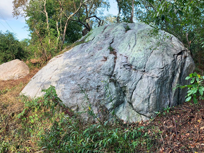
- Bull Rock West side, note quarry-like vein. Photo by Marnie Briggs
-
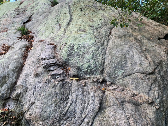
- Bull Rock on west side with closeup of vein. Photo by Marnie Briggs
-

- Bull Rock east side. Photo by Marnie Briggs
Download The Trail Guide