


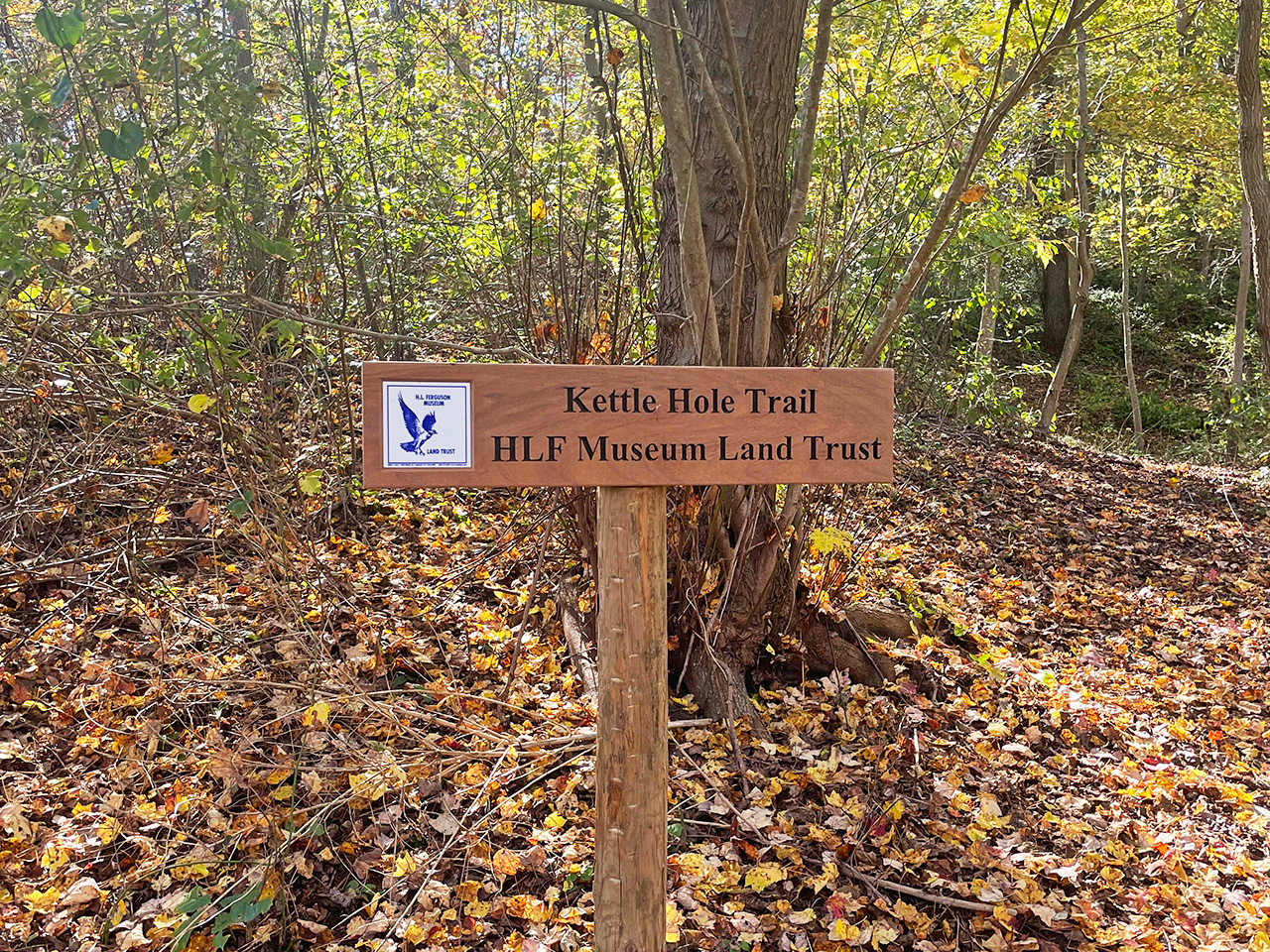


6. Kettle Hole Trail
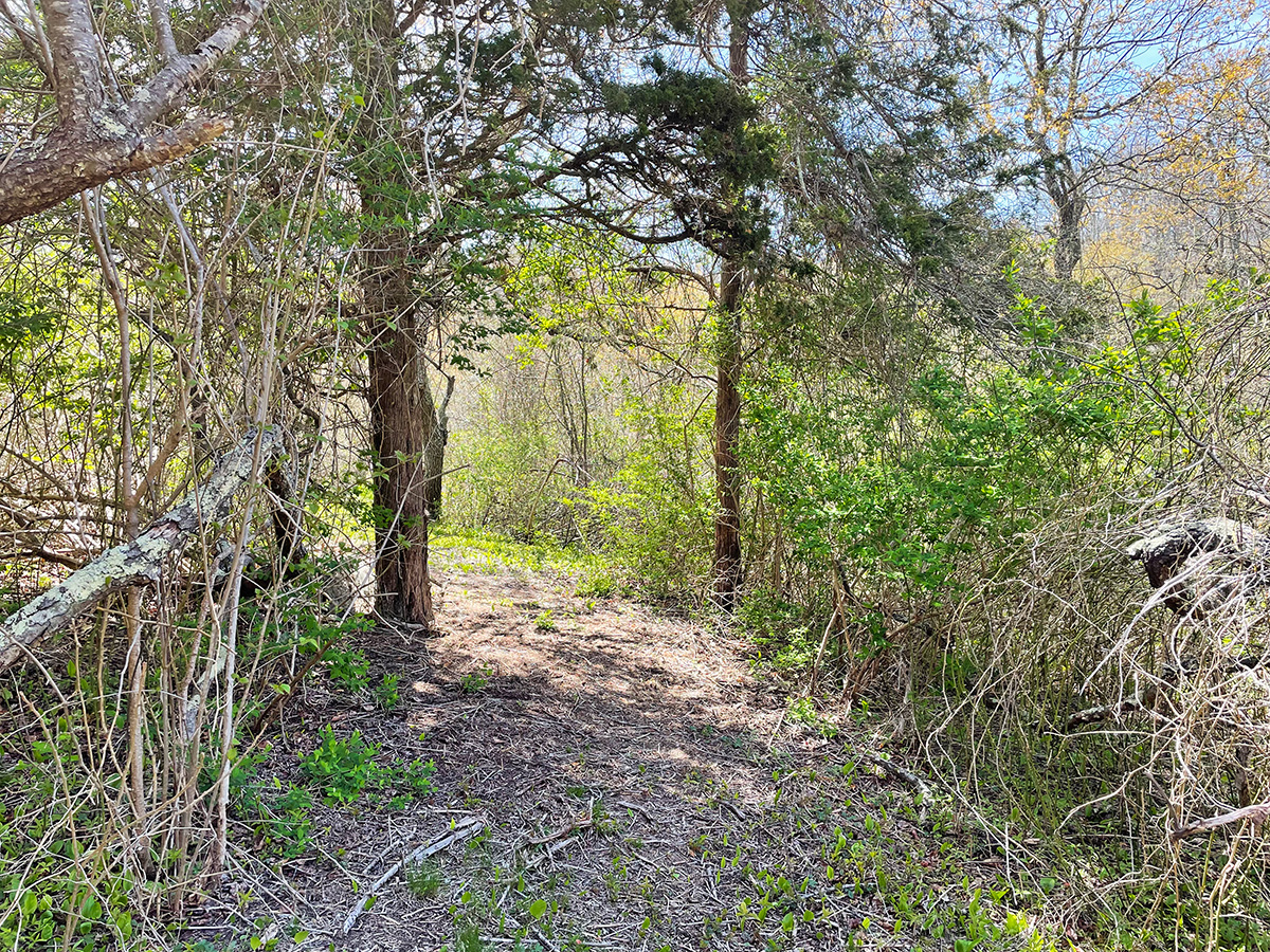
Kettle Hole Trail is a short but challenging point-to-point trek that begins across the road from the “Glass House,” formerly Hooverness, where there is a small pull-off for a couple of cars (or several bicycles).
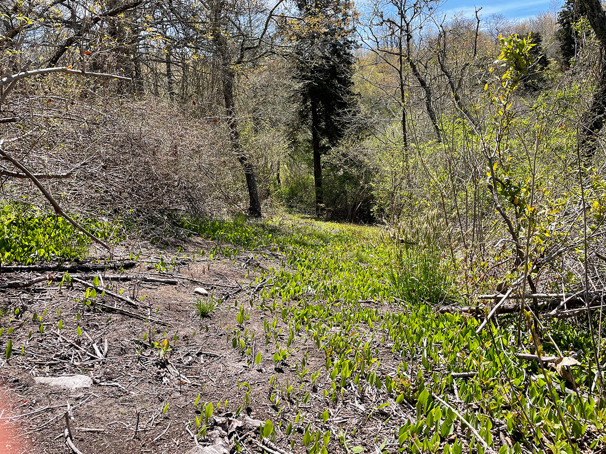
The route starts in a grove of pepperidge (Nyssa sylvatica, also known as black gum, sour gum, or tupelo). This native woodland tree has a distinctive silhouette, with horizontal branches covered by many short shoots. Many different types of bees and pollinating insects, including honeybees, visit the flowers—pepperidge is considered a good honey tree. Female flowers produce a highly nutritious, edible blueberry-like fruit (technically a drupe, with a center pit like a cherry) that attracts more than 40 bird species, including woodpeckers, thrashers, thrushes, and other songbirds. The shiny leaves turn brilliant scarlet in late summer to early fall, advertising the ripeness of the sapphire-colored fruits to avian migrants. Historically, pepperidge wood was valued for its toughness, and was used for making pulleys, hubs, and even barrels to carry salt water without iron bands, which would rust. The tree is characteristic of coastal forests and tolerates a range of soils and conditions, both wet and dry.
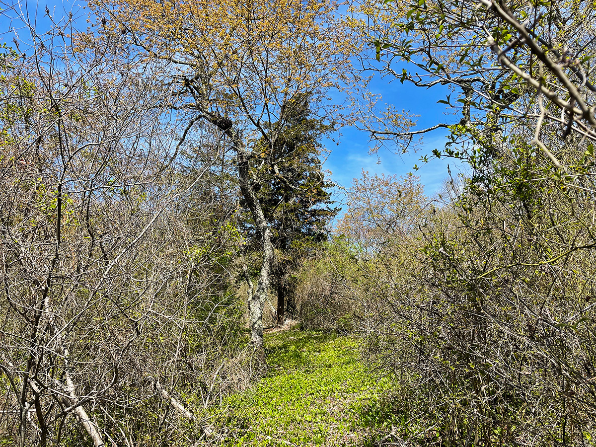
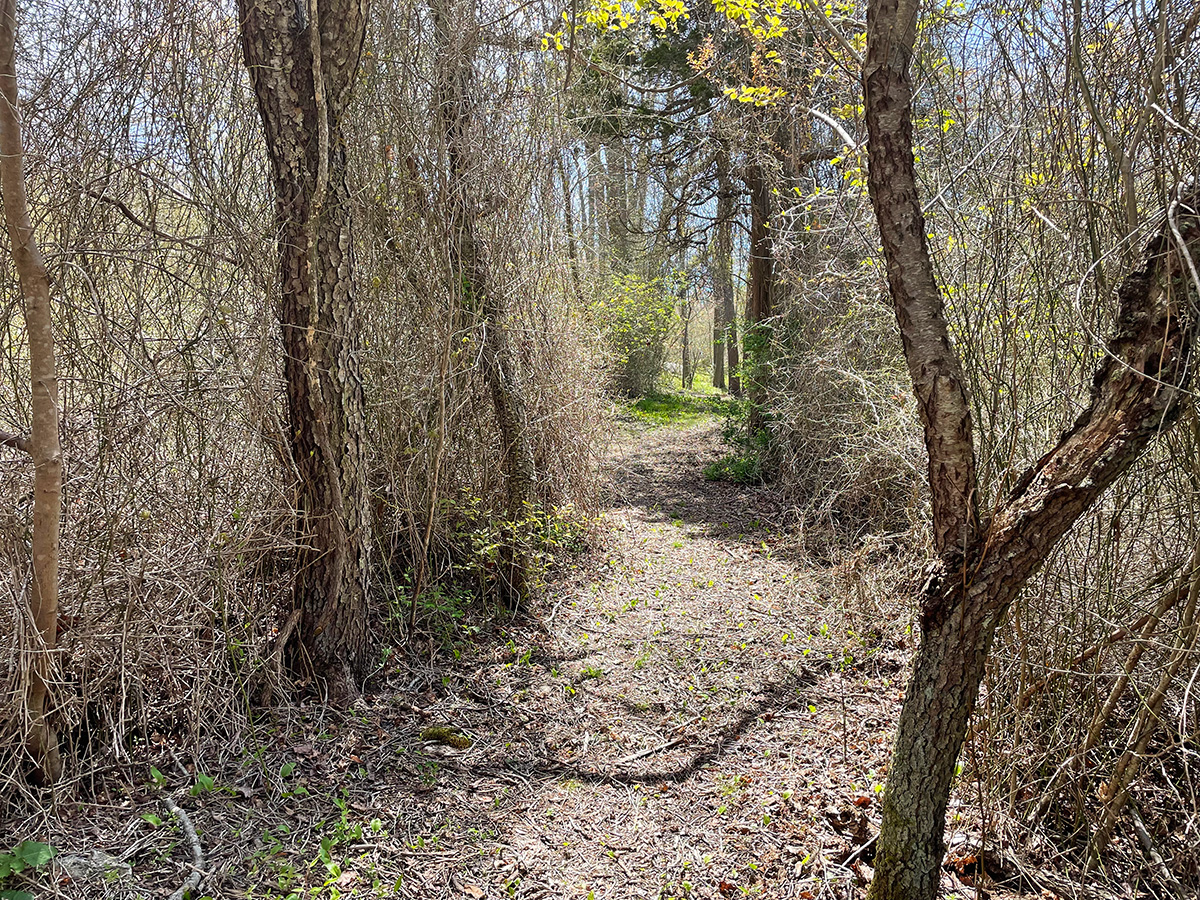
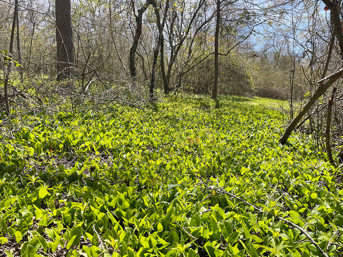
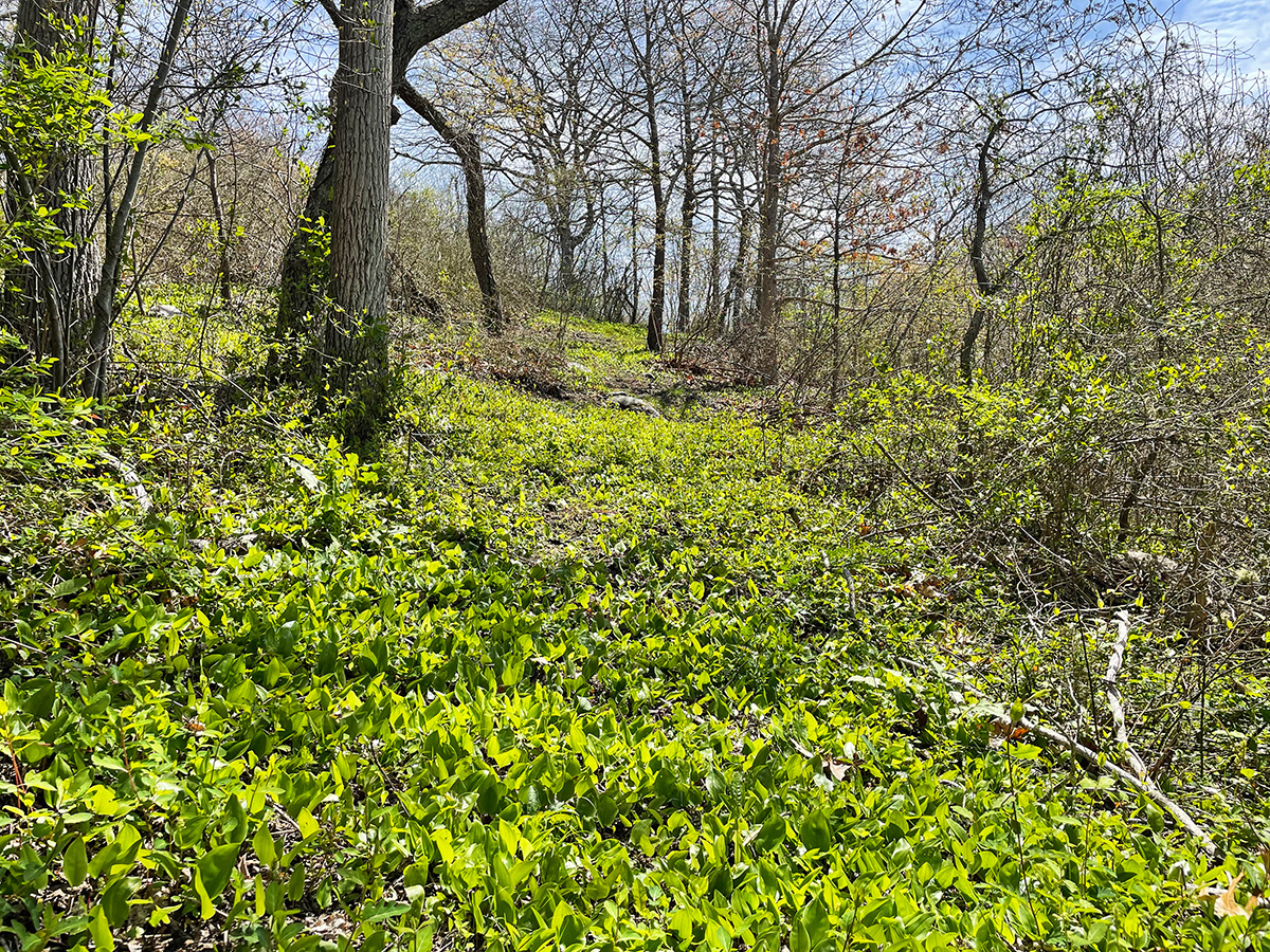
The uneven trail heads uphill, and soon the landscape is dominated by a dense thicket of arrowwood viburnum, winterberry (a deciduous holly), shining sumac, crabapple, greenbrier, and several non-native shrubs (particularly honeysuckle) which nearly obscure the kettle hole below, on the right. Kettle holes formed over 17,000 years ago as glaciers retreated, leaving enormous blocks of ice that were then backfilled with the boulders, rocks, gravel, sand, and clay carried by the meltwater. These ice blocks slowly melted, creating water-filled depressions in the surrounding soil. In more recent history, some kettle holes gradually dried up and were colonized by trees and shrubs. Others fill seasonally with rainwater to form vernal pools. Along with Fishers Island, kettle hole ponds can be found throughout the glacially formed landscapes of coastal Connecticut, Rhode Island, and Massachusetts.
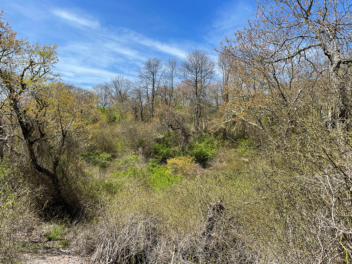
The trail skirts along the edge of this dramatic landscape feature, now mostly impenetrable habitat. It is more easily observed during the winter months, but comes alive with birds in spring. A few interesting larger trees—red cedar, black cherry, red maple, and American holly—rise above the thicket along the steep banks, creating a haven for wildlife in all seasons, including Cedar Waxwing, American Robin, and other fruit-eating birds. The relative inaccessibility of the kettle hole makes it all the more attractive for wildlife, especially ground-nesting birds. The trail emerges on Cedar Ridge Road.