Claypit Views and Brickyard Maps
From The History of Brickmaking on Fishers Island
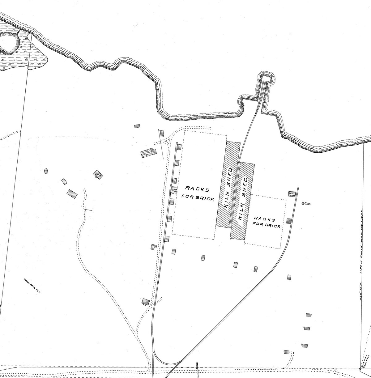
At its height in the 1880s, the brickyard on Fishers Island was one of the largest in the Northeast—some claimed the entire country—with a production capacity of 18 million bricks per annum.
-
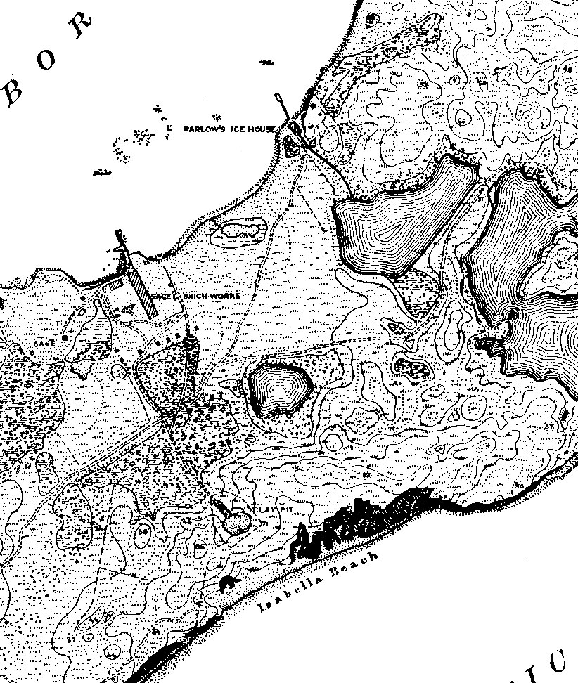
- Brickyard section detail from U.S. Coast and Geodetic Survey map, Fisher’s Island, New York, 1882. Museum Collection.
-
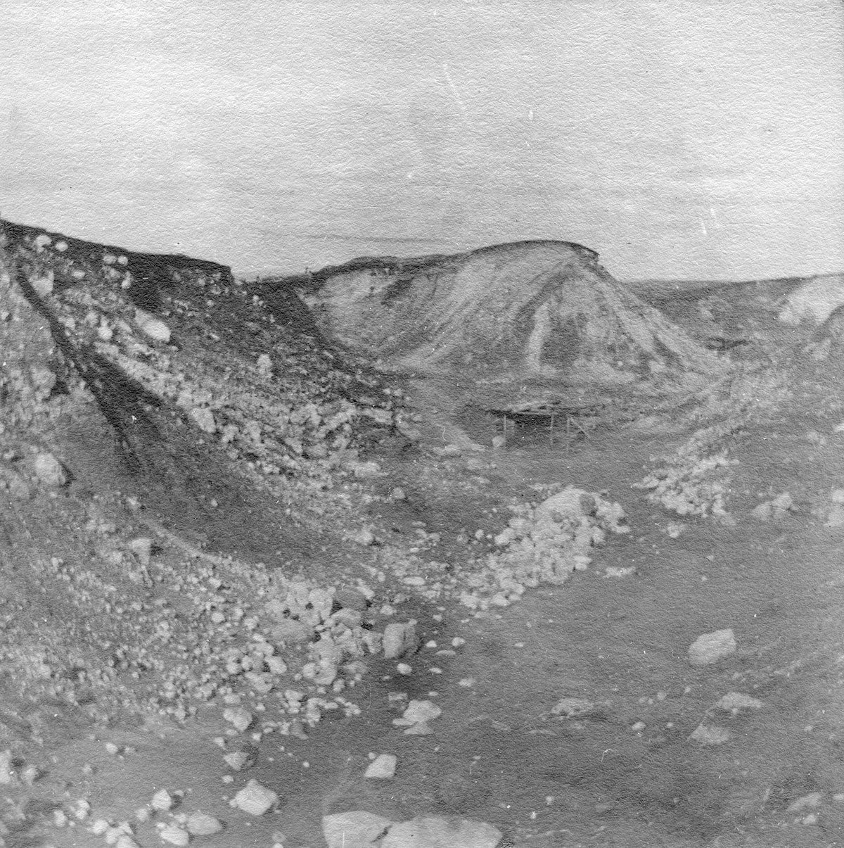
- Early view of claypit and mining platform, Fishers Island, N.Y., circa 1880s. Museum Collection.
-
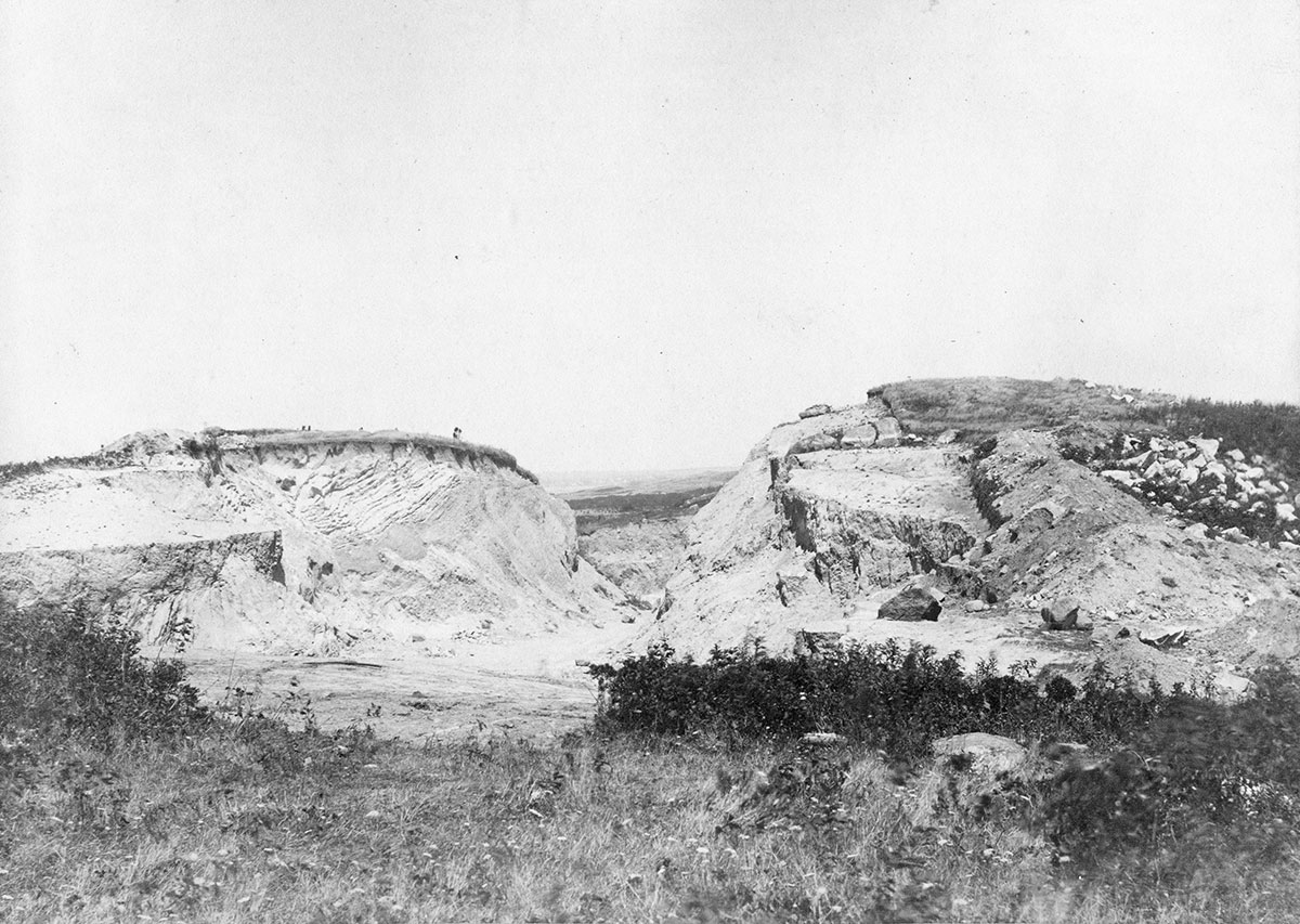
- Clay Pit, Fishers Island, N.Y., September 3, 1890. Museum Collection.
-
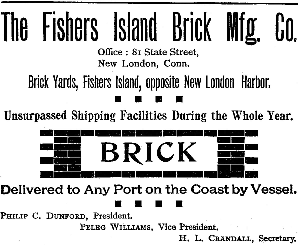
- Advertisement for Fishers Island Brick Manufacturing Co., 1899. Museum Collection.
-
- Detail view of brickyard section of E.M. & W. Ferguson map, “Poultry to Barlow,” circa 1905.
-

- Clay Pits partially filled with water, Fishers Island, NY, circa 1909. Museum Collection.
-

- Abandoned clay pits, Fishers Island, N.Y., circa 1926. Museum Collection.