Along the Trails
by Jack Schneider, Land Trust Manager
Clay Pit Trail Redirect. A section of Clay Pit Trail has been rerouted. The path now slopes downhill from the Block Island Sound overlook and continues beneath an elevated canopy dominated by mature maples and an uncluttered understory, bypassing the corridors of invasive honeysuckles and privet and the mowed lawn. Instead, after passing by a grand, sprawling black oak, the revised route winds beneath an elevated canopy dominated by mature maples and an uncluttered understory. The openness provides satisfying views as the undulating trail glides gently downwards. Birdsong is the soundtrack and, instead of invasives, you’ll find princess pine, young American holly, gnarly black cherries, and a group of large sassafras trees. A low rock wall in disarray signals that the new section is approaching the familiar Clay Pit Trail.
Until the new section becomes well-trodden, look for the fluorescent ribbons left over from when the trail was first cut. And please follow the prominent directional signs at the beginning and end of the bypass.

Chocomount Hill. Hiking the new trail through the forested 15½ acre Chocomount Hill Sanctuary is a remarkable experience. As the elevation of this parcel slopes downwards from north to south, the perceived height of the trees appears to change. Red cedars that soar a rich green against the blue sky when viewed from lower levels of the trail revert to their normal, down-to-earth size when approached. Scenes that are prominent when following the trail loop clockwise fade when the path is walked in the opposite direction.
The trail is bracketed by food sources for fruit-eaters, including healthy highbush blueberries and black cherry trees, whose contorted branches sprawl outwards and upwards. To the north, the trail crosses the remains of one of Fishers’ cross-island stone walls—there were once seven! Although much of the landscape is dominated by invasive shrubs and vines, the tree canopy is mostly native. The branching crown of a remarkable red maple, which greets you as you enter from the Chocomount Beach Road trailhead, may have provided shade to livestock when the area was pasture.
The trail encircles a physical depression—perhaps a remnant glacial kettle hole, but now a pristine red maple swamp—that can be glimpsed from above through the dense understory.
There is no dedicated parking, but the trail can be accessed from the trailhead at the corner of Brooks Point Road and from the second trailhead across from Chocomount Beach Road. Better yet, connect with Chocomount Trail and the trail complex ending at Middle Farms by crossing the Main Road to the spurs located directly across from each trailhead.

Route of new Chocomount Hill Trail. Note trailhead located directly across road from turnoff to Chocomount Beach. Map by Jessica Morgan.
Trail Closure. The trail known as “Four Corners” or “Tombari Trail” has been closed because much of it relies on crossing properties not owned by the Museum and because there is inadequate off-road parking by the trailhead.
A Plea. No more dumping dog-poop bags along the trails.
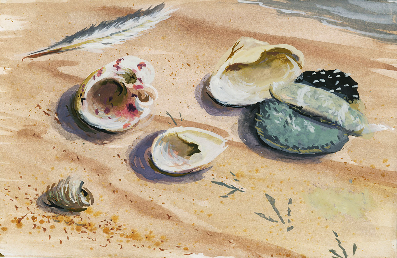
Chocomount Cove Beach. Thanks to the Fishers Island School Landscape Construction class, there is a new sturdy driftwood handrail positioned alongside the stone steps that lead to the beach. Also, the area at the end of Spofford Road has been graded and widened to fit two or three carefully parked vehicles.

New railing constructed by F.I. School students with stone steps installed by Race Rock Co. Photo by Jack Schneider.
Article originally published in The Henry L. Ferguson Museum Newsletter 2025.