Fishers Island Seagrass Management
Coalition Update Spring 2020
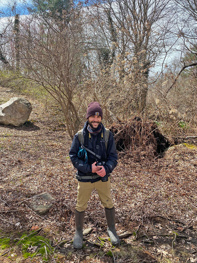
Connor Jones, FISM Coordinator, in the HLFM Sanctuary, April 2020.
The Fishers Island Seagrass Management (FISM) Coalition is getting ready to go into its fourth summer of activities. Even during these challenging times, we are still committed to the efforts required to protect our local natural resources. The Coalition has recently produced several educational materials that support its mission to promote community learning when it comes to seagrass. We have upped our online presence through our new Fishers Island Seagrass website (fiseagrass.org) and Instagram account (@fishers_island_seagrass). The website provides information about the Coalition’s mission and membership, the Island’s seagrass ecosystems, FISM projects, volunteer opportunities and a calendar of upcoming events. Check it out!
On the website, you will find a page dedicated to our community-led Seagrass Management Plan development process that began this year. To help with our planning efforts we are using SeaSketch, a Web-based platform with tools designed to support collaborative ocean planning. SeaSketch will allow us to identify which specific areas of seagrass around the island that we want to protect. We are calling these areas Seagrass Management Areas (SMAs). SeaSketch will also help us take into account the goals of different users of these areas so that the needs of commercial and recreational users are met.
This past spring, Coalition members were trained to use SeaSketch and throughout the summer and fall, we will continue to use SeaSketch to create potential SMAs and further develop our Seagrass Management Plan. We will narrow our options through a review process that includes meetings, webinars and workshops with the Coalition, the town of Southold and the New York State Department of Environmental Conservation (DEC). We encourage Island residents (seasonal and year-round) to also participate in these meetings. We will be posting the dates of these meetings. Any questions regarding these activities and our planning process can be directed to the FISM Project Coordinator, Connor Jones (fishersislandseagrass@gmail.com).
We also have two new physical pieces of educational material that are currently in distribution. The first is a postcard aimed at educating boaters on F.I., and visiting boaters from the mainland, about ways to minimize their impact on seagrass. The second is a tri-fold brochure that focuses on the impact fertilizers and lawn care have on coastal waters. This brochure is meant to inform Island residents and landscapers how they can change their habits. Reducing excess nutrient runoff from the land is a great way to ensure that our coastal waters stay clean and usable.
The Coalition is continuing its monitoring efforts this summer, collecting data on water quality and human usage. Water quality data are being collected through the University of Rhode Island’s Watershed Watch program. Seagrass thrives in clean water, so the information we collect through Watershed Watch will help inform future management decisions.
We are going into our second year as a participant in California’s MPA Watch. MPA Watch is a “network of programs that support healthy oceans through community science by collecting human use data in and around [our] protected areas.” MPA stands for ‘Marine Protected Area’; these are areas along the coast that are afforded certain protections in order to preserve underwater habitats and the organisms that live within them. They are comparable to National Wildlife Refuges, State Parks and National Parks that we have on land. An MPA is very similar to the SMAs we are working create around the island. When implemented, these areas will not only benefit eelgrass but also many other species including humans. When eelgrass meadows are healthy, they provide a number of ecosystem services including acting as habitat for juvenile fish, scallops and lobster, storing carbon to mitigate climate change, oxygenating the water and providing shoreline protection from storms.
By recording human use data at different sites around the island (8th Hole Beach, North Hill, West Harbor and Flat Hammock) we will be able to identify areas that are in need of protection while still maintaining access for recreational and commercial users. These data will help inform our Seagrass Management Plan development process. The FISM Coalition recruits volunteers to help with this monitoring, if you see one of them carrying a clipboard at one of our established sites feel free to approach them and ask them questions!
Please do not hesitate to get in touch if you would like to volunteer, participate, or just learn more about our activities.