A Brief History of Land Use and Conservation on Fishers Island
August 10 @ 4:00 pm - 5:00 pm
Join us for an illustrated talk by Museum director Pierce Rafferty, who will survey the history of land use on Fishers Island since first European settlement before turning his focus to land conservation efforts on our island from the mid-1960s to date.
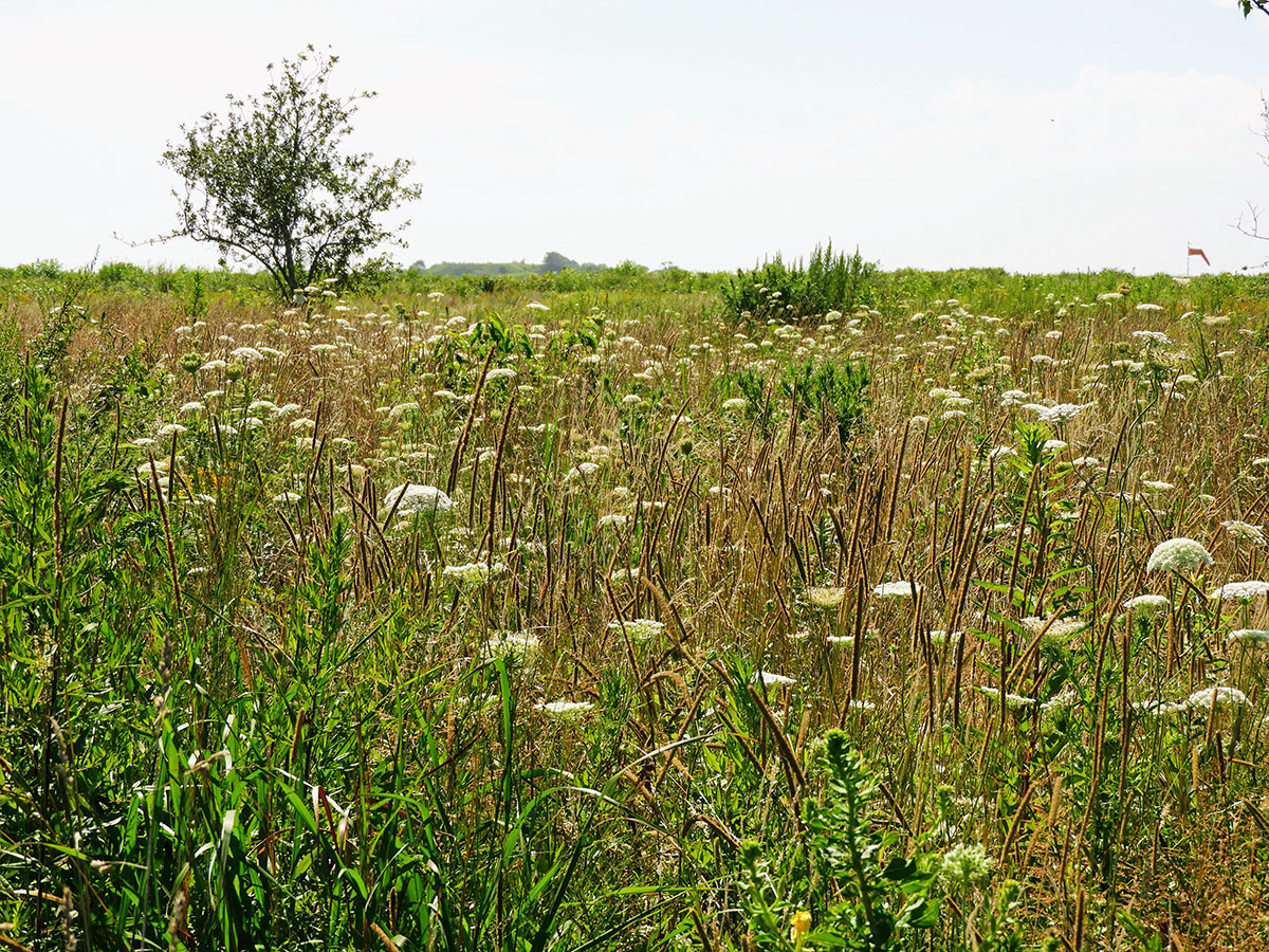
This talk will encompass both the origins and evolution of the Museum’s Land Trust and its trail network, and the FI Conservancy’s project to convert the former Fort Wright Parade Ground into a meadow – a model for restoration and successful invasive species management in an eastern grassland.
WHEN: Sunday, August 10, 2025
TIME: 4 p.m.
PLACE: In person at the Museum, 2nd floor, and virtual via zoom
Reception to follow.
-
- Large color aerial photograph on display in the Museum lobby on which properties now preserved via the Land Trust are marked. Total acreage protected from development under Land Trust auspices, either directly or through conservation easements now exceeds 377 acres, more than 13% of the Island’s land mass when you exclude the water surface area.
-

- WOODLAND TRAILS, Fishers Island – New York. Circa 1966. This early East End trail network was created by Matty Matthiessen and friends.
-
-
Queen Anne’s Lace on the Parade Grounds, August 2, 2018.
Photograph by Jane T. Ahrens