Island Pond
by Jack Schneider
Island Pond, and the attached Beach Pond, are classified together ecologically as a “Coastal Salt Pond.” However, this was not always so.
Historically, this 52-acre pond complex, the second largest in New York State, was separated from the salty ocean water of Block Island Sound by a continuous half-mile long barrier.
In the mid-1920s, Island Pond functioned as a backup reservoir for the water supply system built at that time as part of the Olmsted Plan. But this role ended suddenly a little more than a decade later when the Hurricane of 1938 smashed into the south shore of Fishers Island. The storm’s immense surge overwashed the barrier beach and flooded Island Pond and adjacent Beach Pond with salt water, instantly turning them both brackish.
The Fishers Island Farms, Inc. soon set out to bring Island Pond back into the mid-island reservoir system that connected at the Water Works at Barlow Pond. Their long-term plan was to intermittently (and repeatedly) pump salt water out of Island Pond so that groundwater from rainfall would eventually restore it as a fresh water source. By September 1940, Island Pond had almost regained its freshwater status when a new hurricane reintroduced saltwater into the Pond. The restoration effort was subsequently abandoned. Another major hurricane in September 1944 was likely responsible for the initial cut through the barrier beach and the wider cut that connected Island and Beach ponds.
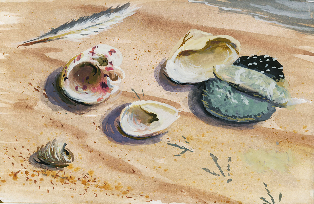
Following saltwater intrusion, the freshwater plant and animal community was destroyed. The resident fishes changed from freshwater species like large-mouth bass, pumpkinseed, bullheads, and shiners, to brackish-adapted or tolerant species like mummichogs, pipefish, sticklebacks, silversides, and white perch. Invertebrates—Eastern mud snails, soft-shell clams, and oysters—became established.

Aerial of Island and Beach ponds, April 2001. Courtesy of NYS Office for Technology.
Steve Malinowski, who knows the Pond well, is the source of the information that follows. Steve and his wife Sarah co-own the Fishers Island Oyster Farm, which cultures oysters in Island Pond (the faint lines visible across Island Pond in the aerial image above are buoys that support strings of nets where oysters are growing). Steve has studied the Pond from above and below the surface for years and worked with Carey Matthiessen, who founded the original oyster farm in 1962.
A hand-drafted bathymetric survey conducted by Matthiessen years ago shows the pond to be six to eight feet deep with the exception of two, 20-foot-deep holes. One of the holes is located near the bench in the western area of the Rec Path, while the second hole lies near the barrier beach. Both holes hold little, if any, oxygen and, as a result, a layer of decomposing organic matter that looks and feels like black mayonnaise (but smells much worse!) sits atop the mineral sediment at the bottom of the holes.
The Pond water is two-tiered, with depth measured from the surface to the bottom. Imagine a salad dressing in which vinegar floats on vegetable oil—the transition zone between the two types of Pond water is nearly as abrupt. The top level is four to five feet deep with a salinity of 20 parts per thousand—about two-thirds the saltiness of ocean water—and is well-oxygenated. The water in the lower tier is saltier, 28 parts per thousand, and lacks any oxygen. Hence, oyster nets can’t be dropped below three and a half feet because the oysters won’t survive without healthy, well-oxygenated water.
The salinity and volume of the Pond are kept in near equilibrium by seawater coming in intermittently (primarily during moon tides and storm events) and freshwater draining out slowly, fed by run-off from the surrounding land and by at least one groundwater spring. Since there is minimal flow in or out, much like an enclosed lake, there is little mixing of salt and fresh waters, which causes the two-tiered stratification during the summer.
During earlier years, the eastward drift of sand from the adjacent eroding bluff (in front of the Harvey house) and from Isabella Beach would plug the cut, damming the water in the Pond. When this happened, the Pond level would increase by about a foot over the winter. When spring came, workers would remove the accumulated drift sand and the trapped water would gush out, quickly widening the one-foot trench to a ten-foot trench overnight. This happened year after year until a permanent cut was dug circa 1990s through an area that was naturally reinforced by rocks and boulders. (See above photo. The cut is clearly visible at lower right.)
The evolution of Island Pond is far from over. Rising sea levels, augmented by more frequent and stronger storms, and changing ocean currents, will likely alter the structure of the protective barrier beach and open the Pond to the Ocean.
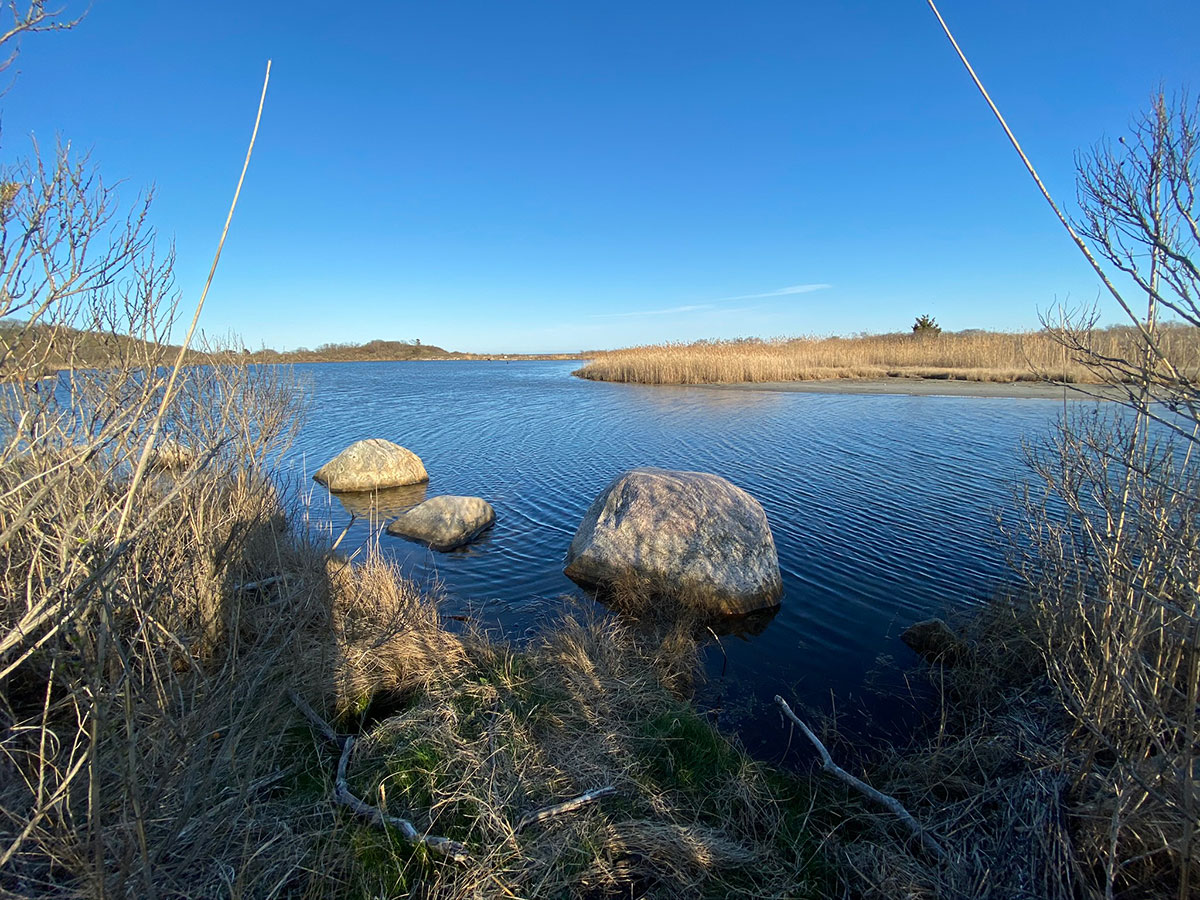
The channel to Beach Pond from Island Pond. Photograph by Pierce Rafferty.